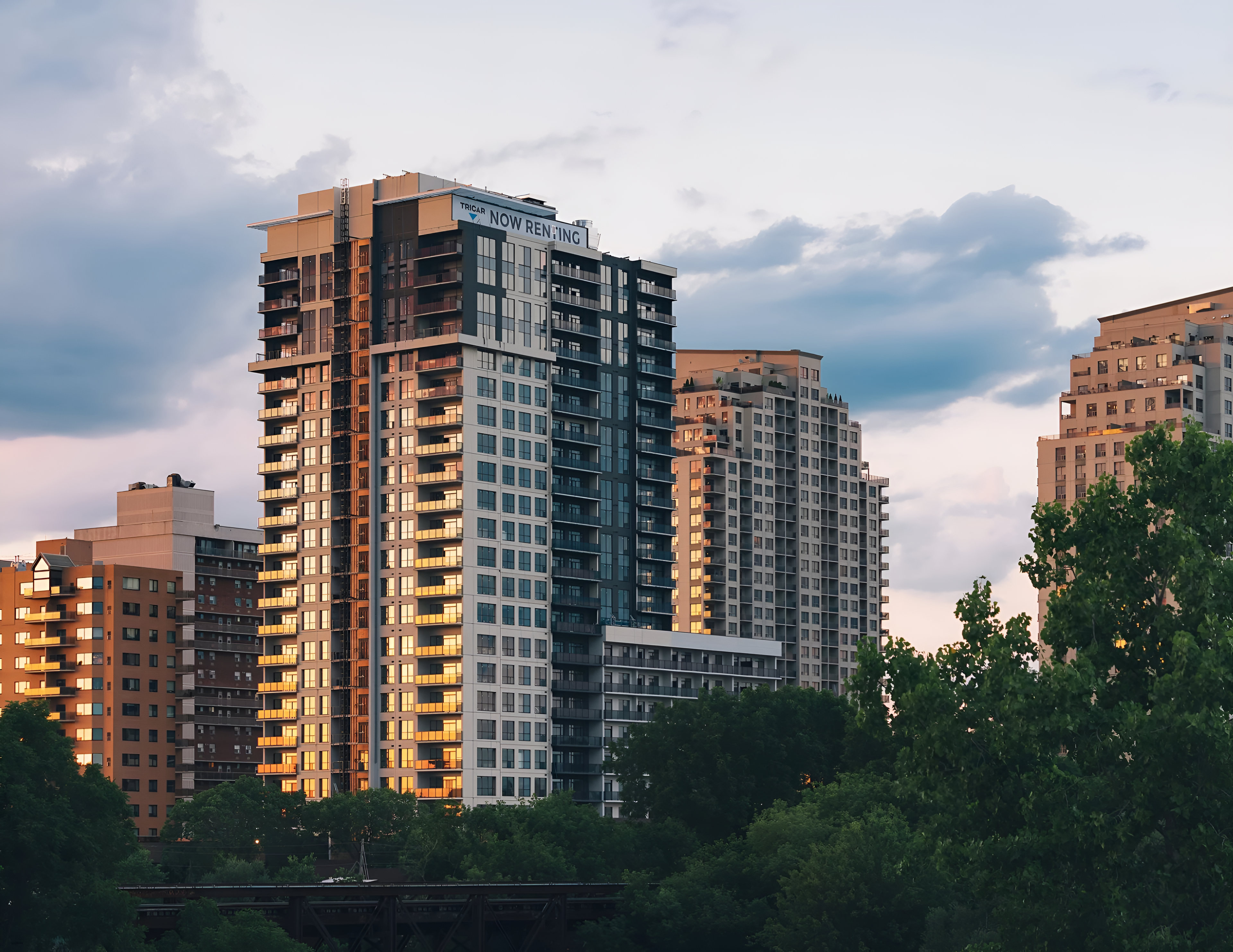

A measured approach.
A Brooklyn reality capture company built on one idea: measuring a building is the foundation of everything that follows, so it has to be right.
Request a quoteWho we are
TechScan USA was founded by Nathen Grosz to give architects, contractors, owners and agents something the industry rarely delivers: existing conditions that are accurate the first time, delivered fast, with clear communication from the first call to the last file.
We operate survey-grade terrestrial scanners and mobile scanners, run our own GNSS control, and draft and model everything in-house in AutoCAD and Revit. Our team has hands-on experience in Revit, AutoCAD, Cyclone and n4ce, and our founder is pursuing licensure as a New York State Professional Land Surveyor, which shapes the survey discipline we bring to every job.
We are headquartered in Brooklyn with a presence in Sullivan County, and we work across the five boroughs, Rockland and Westchester counties, Long Island, the Hudson Valley, New Jersey, Connecticut and Pennsylvania, with crews that travel nationwide.
What you can expect
Accurate the first time
Every drawing and model is traced from a survey-grade point cloud and checked against it. We include the data so you can verify anything.
Fast, and honest about dates
On site within 24 hours when needed, deliverables in 2 to 5 days for most projects, and a firm date with every quote.
Clear communication
One point of contact who answers the phone, explains the options and tells you what you actually need.
Your standards, not ours
Your title block, your layers, your Revit template, your level of detail. Files that drop straight into your workflow.
Existing conditions only
We document what is there. Your architect and engineer design from it, and we never compete with them.
Respect for the building
Quiet, non-contact scanning that works around tenants, trades, security and operating hours.
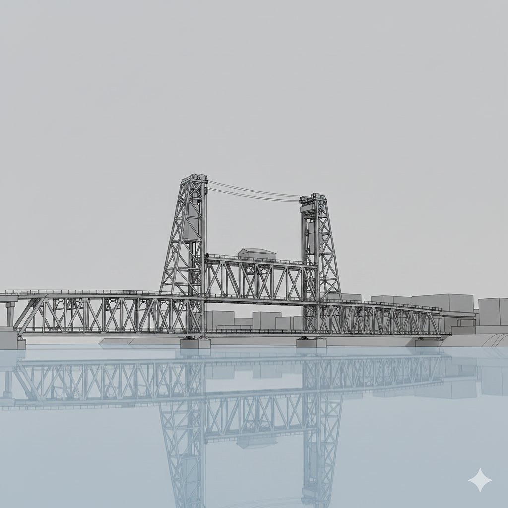
Professional tools, in-house expertise
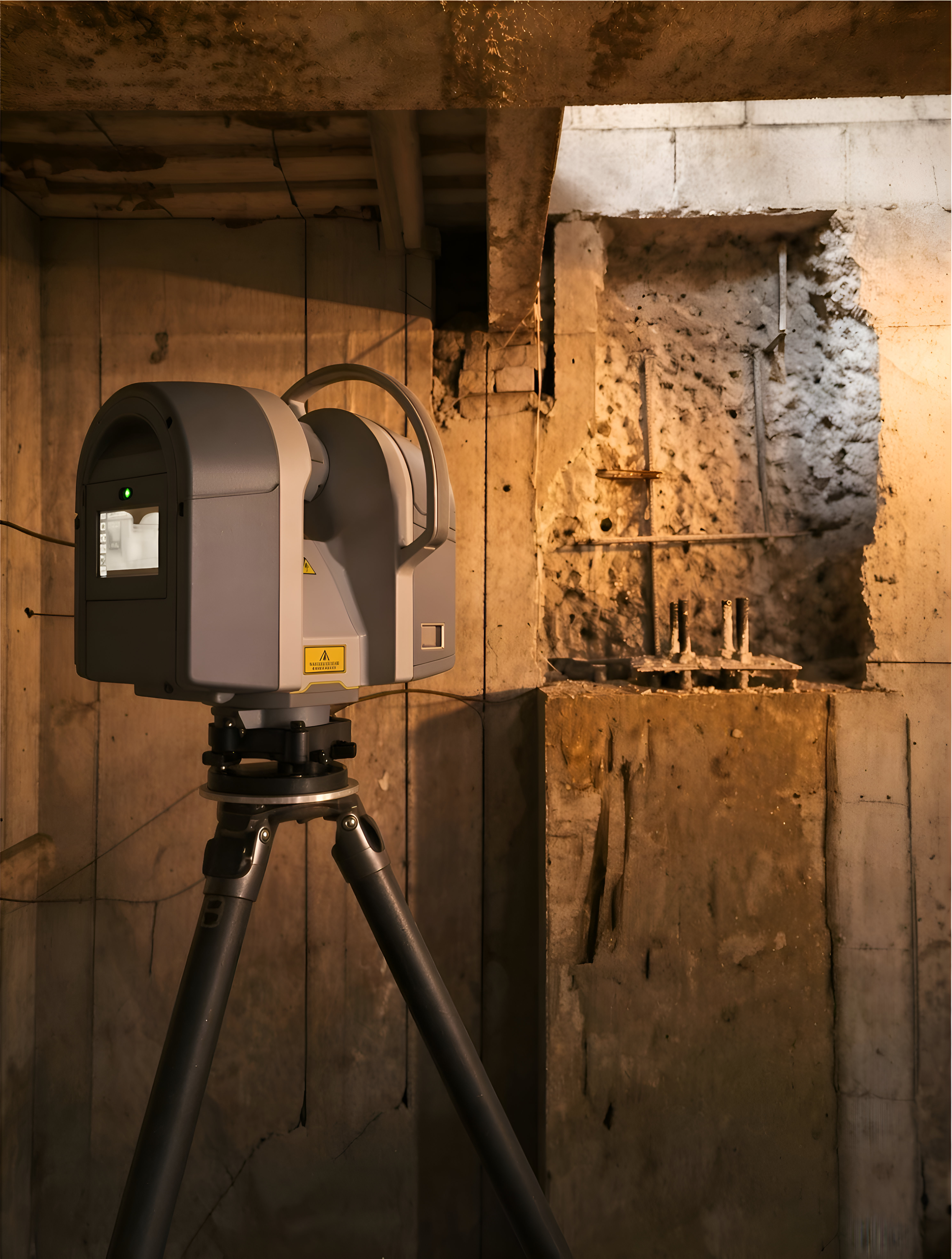
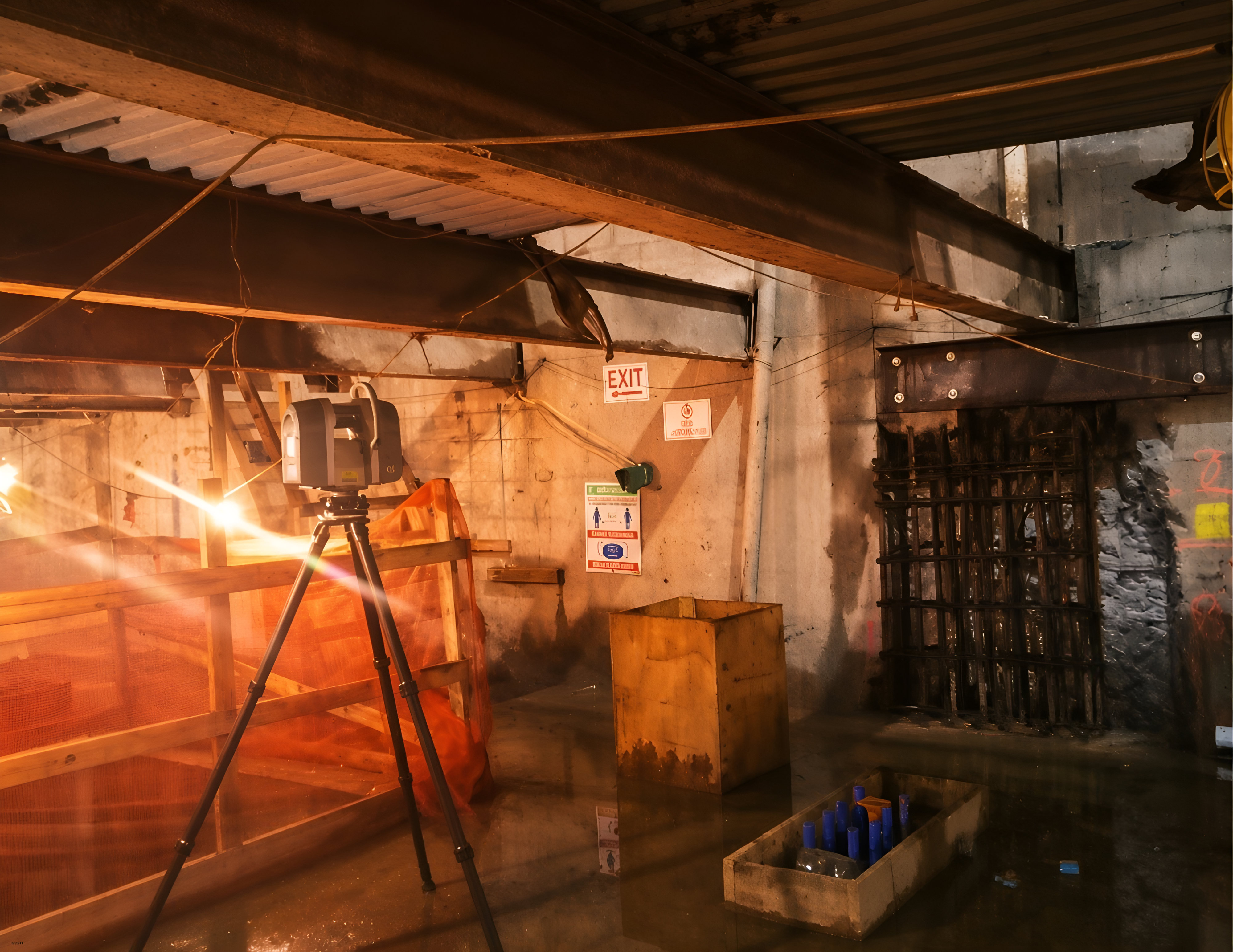
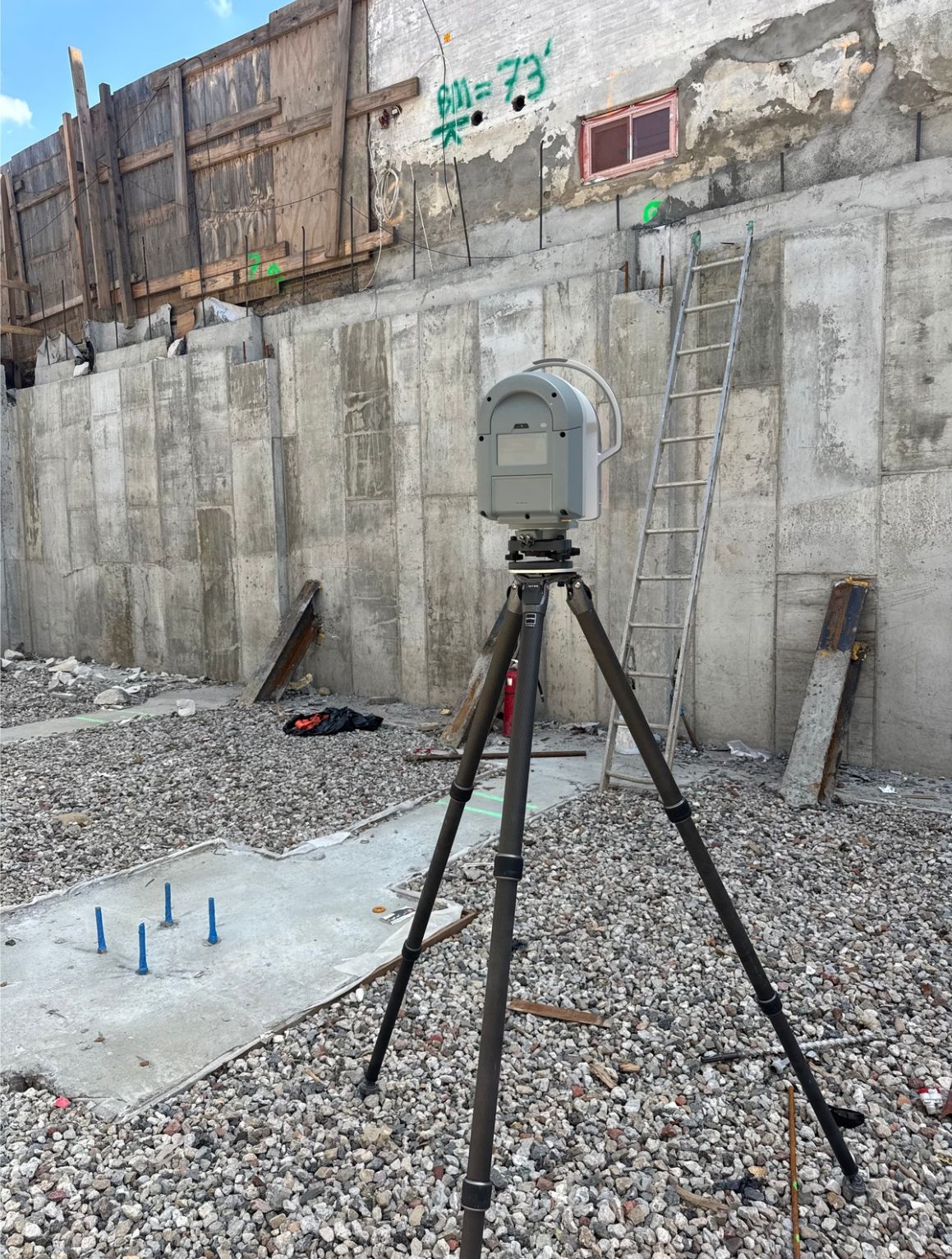
Survey-grade terrestrial laser scanners, mobile scanners for fast capture of tight and complex spaces, GNSS base and rover for survey control, and a full office pipeline in Revit, AutoCAD, Cyclone, RealWorks, n4ce and photogrammetry software. Drafting and modeling are done in-house, never outsourced.
Let us show you how we work.
Call or send a note. We will walk you through what your project needs and quote it the same business day.