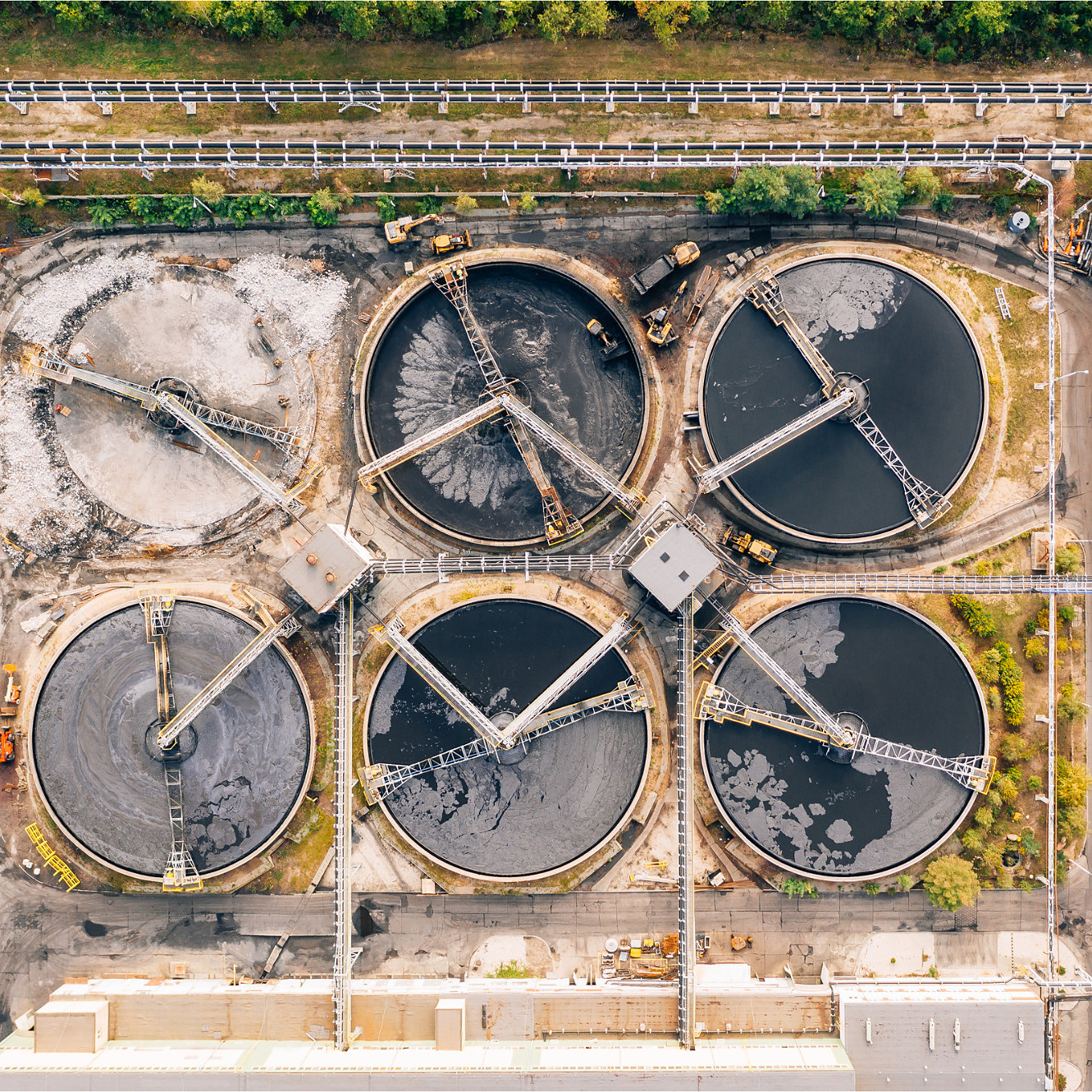
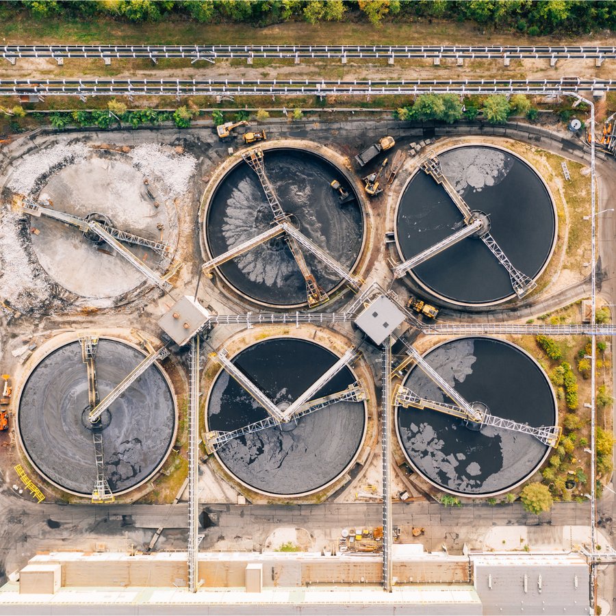
The site as we found it.
A wastewater treatment plant: six clarifiers, pipe racks, walkways, pump houses and process buildings, captured from the ground and from the air in one coordinated visit, with every structure referenced to the same control network.
- Full-site capture including structures, piping and site features
- Aerial imagery combined with terrestrial scans
- Minimal disruption to an operating facility
- One visit, one data set for the whole plant
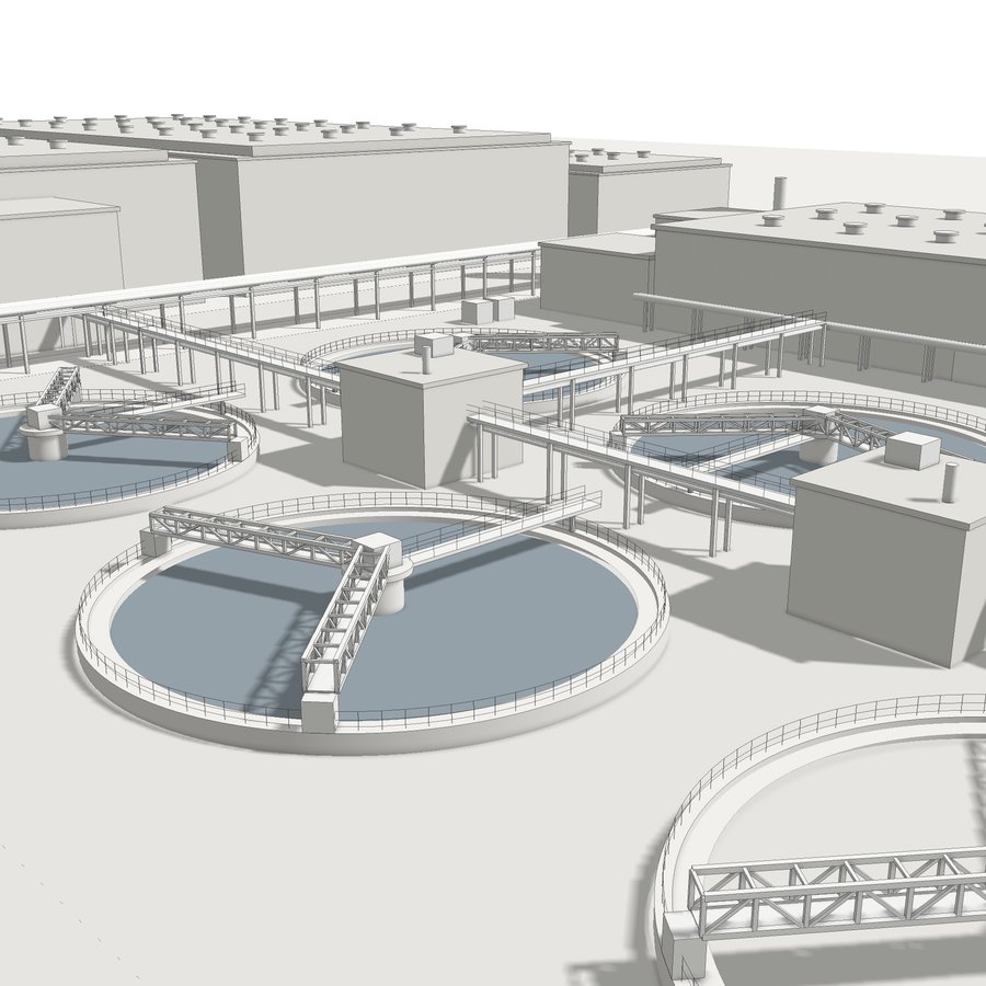
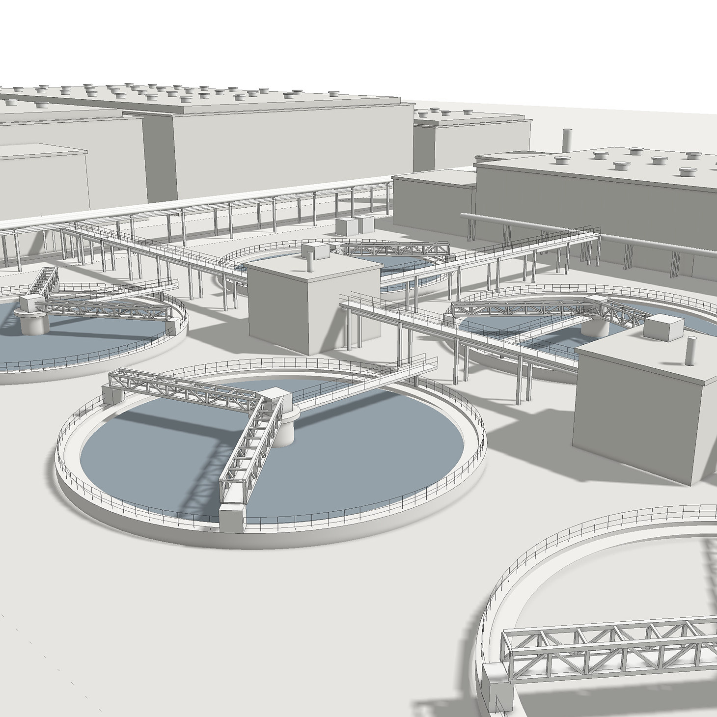
The finished Revit model.
Architecture, structure, process equipment and MEP are modeled directly against the point cloud in your Revit template and level of development, then plans, sections, elevations and details are cut from the model and checked back against the scan.
- LOD 200 to 400, in your template and family library
- Revit, IFC, DWG and PDF deliverables
- Point cloud linked to the model for verification
- Delivered in 2 to 5 days for most projects
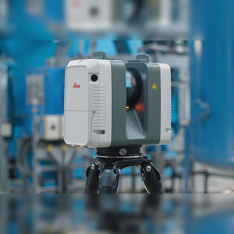
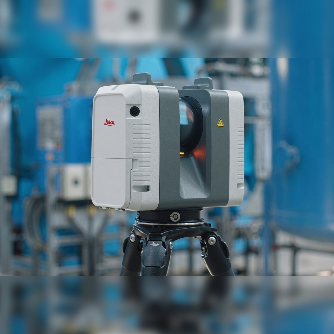
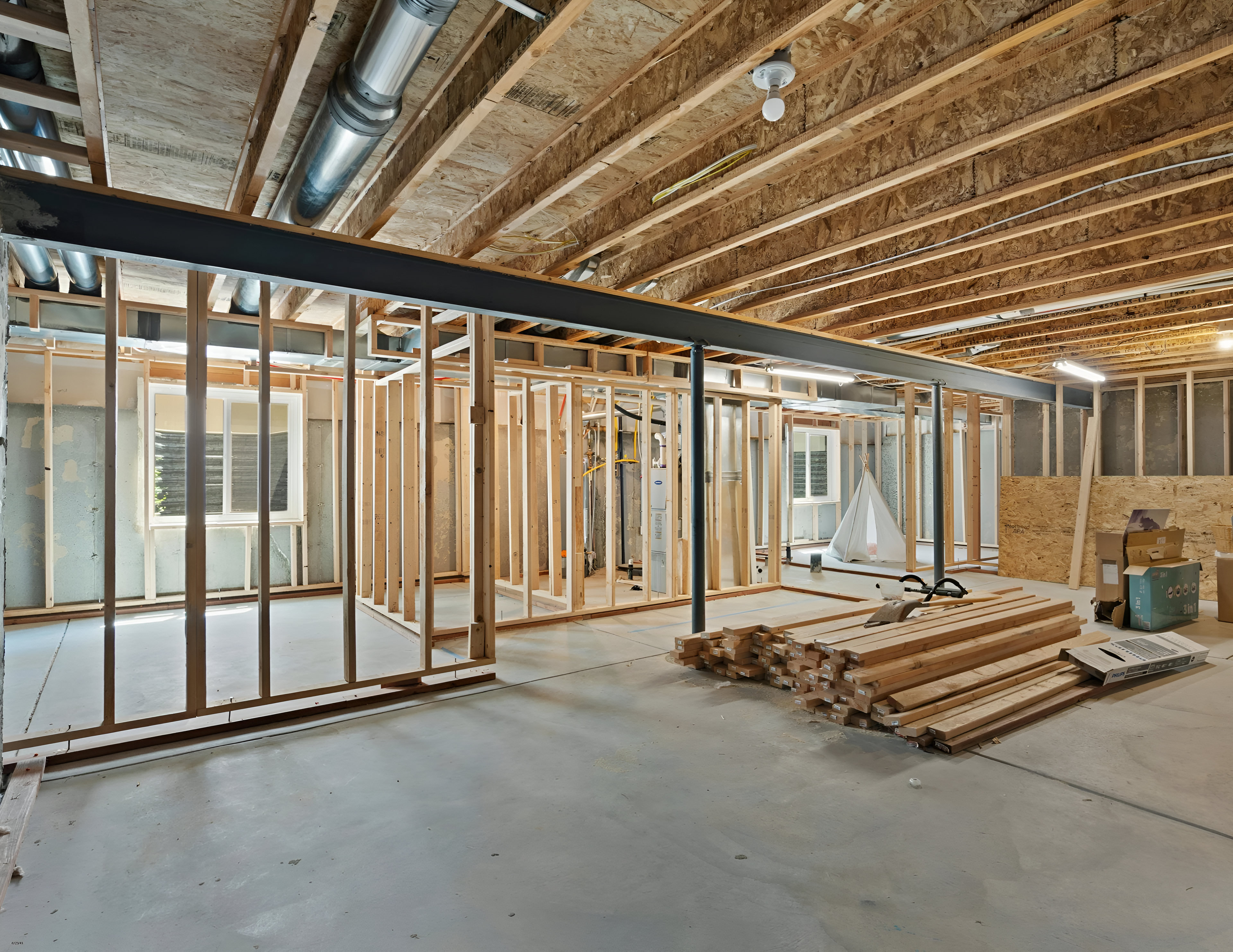
We scan the building as it stands.
Survey-grade terrestrial laser scanners capture every wall, column, pipe, duct and window in a single visit, recording millions of points with millimeter accuracy. Mobile scanners cover tight basements, occupied floors and mechanical rooms quickly, and 360 photography is captured at every position.
- On site within 24 hours across the New York metro area
- Occupied buildings, nights and weekends by arrangement
- Leica and Trimble terrestrial scanners, mobile scanners for speed
- Point cloud delivered in E57, RCP, LAS or PTS
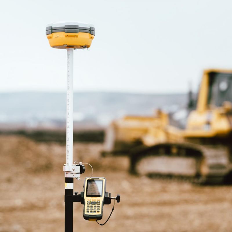
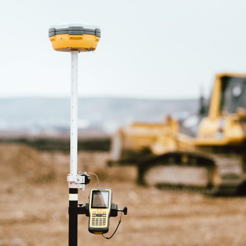
Survey-grade accuracy, tied to the earth.
A GNSS base and rover set control points on every site before the first scan, so the point cloud sits on real-world coordinates rather than floating in space. Building as-builts, site plans and future surveys all share one coordinate system from day one.
- Leica GNSS base and rover with real-time corrections
- Control tied to state plane or your project datum
- Scan data lines up with existing surveys and site plans
- Ready for stakeout, monitoring and additions later
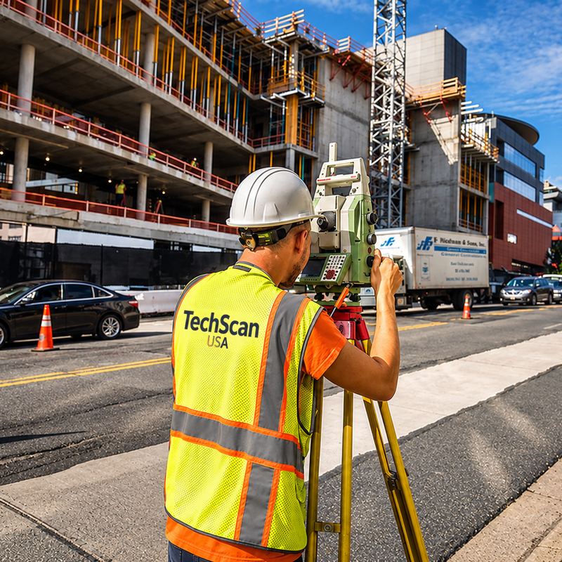
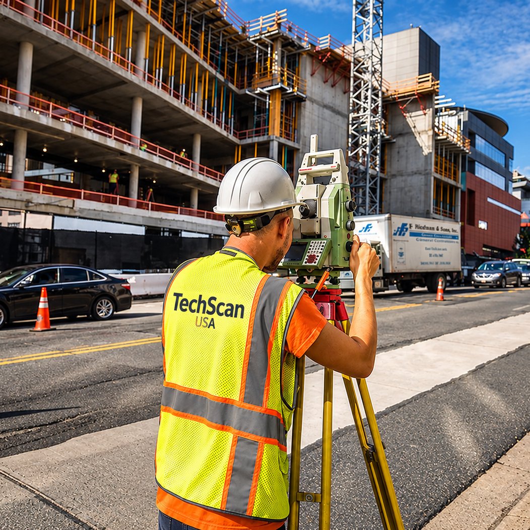
Verified with a total station.
Before the crew leaves, independent check shots from a total station are compared against the registered point cloud. Registration is confirmed to a known tolerance and documented, so accuracy is measured and recorded, never assumed.
- Independent checks on every project
- Registration typically holds 2 to 5 mm across a building
- Deviation reports available on request
- The same discipline a licensed surveyor applies